Skip to content
Main Navigation
Search
Search for:
Local
Weather
Video
Entertainment
Investigations
Responds
Newsletters
TV Listings
Live TV
Video Forecast
NBC6 First Alert Forecast – April 17, 2024 – Morning
NBC6’s Adam Berg has your forecast for today April 17, 2024.
Weather stories
Weather
43 mins ago
Today's Forecast
Weather
Feb 6
National Hurricane Center to update the traditional forecast cone
Weather
Nov 7, 2023
NBC6 wants your input to make our weather app better. Take our survey here
Fort Lauderdale
Nov 24, 2023
Fort Lauderdale saw historic rain in 2023, while the Florida West coast deals with a drought
Steve MacLaughlin
Nov 20, 2023
Should you wash your car at home or at a car wash?
NOAA
Oct 20, 2023
Wetter, mild winter: How El Niño will affect winter in South Florida
South Florida
Sep 9, 2023
What happened when Hurricane Irma made landfall in South Florida 6 years ago?
John Morales
Sep 8, 2023
John Morales tracks Hurricane Lee as the cat 5 storm moves in the Atlantic Basin
Maps & Radar
see all
SOUTHEAST SATELLITE AND RADAR
TROPICAL SATELLITE
GULF SATELLITE AND RADAR
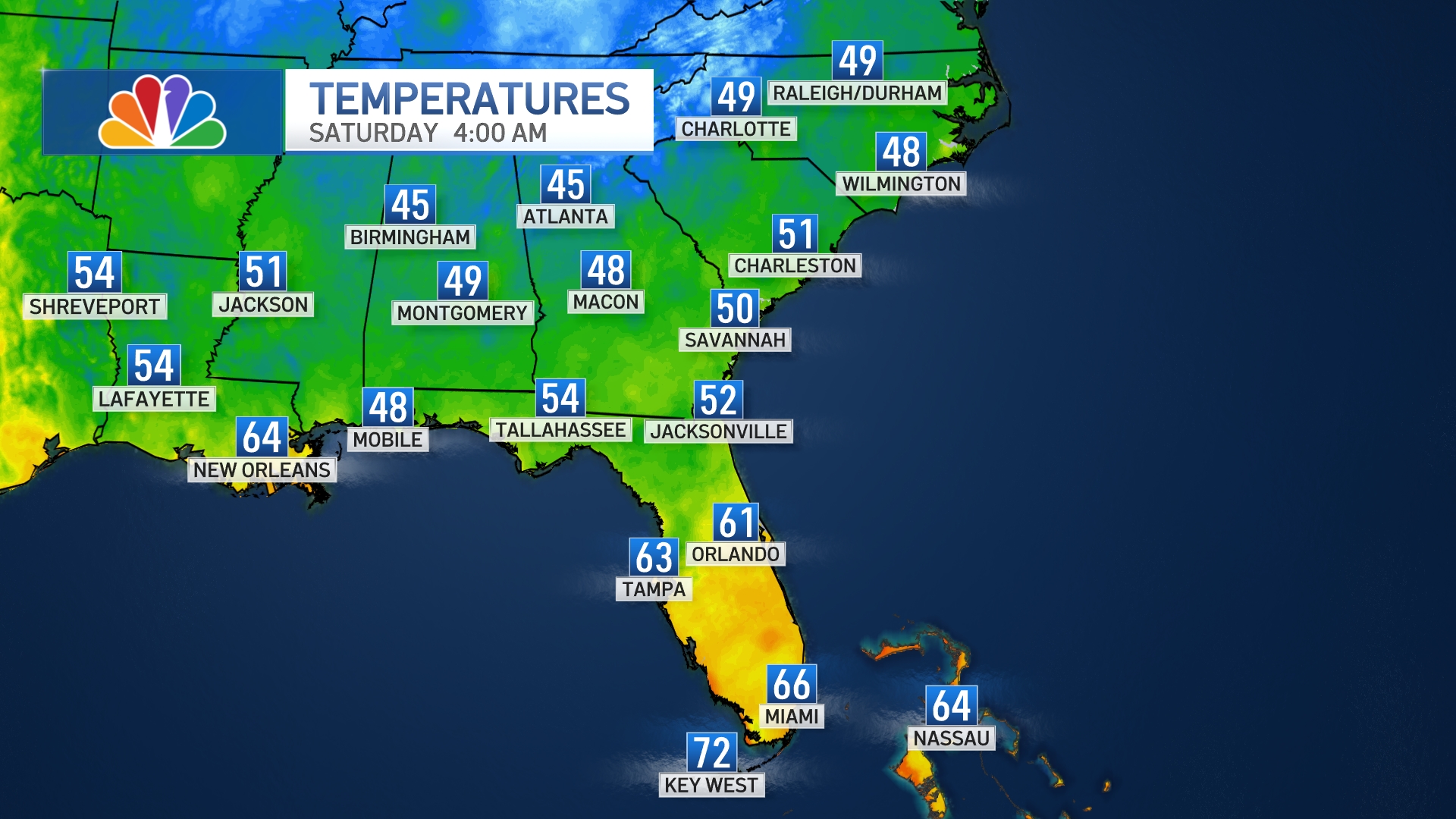
SOUTHEAST TEMPERATURES
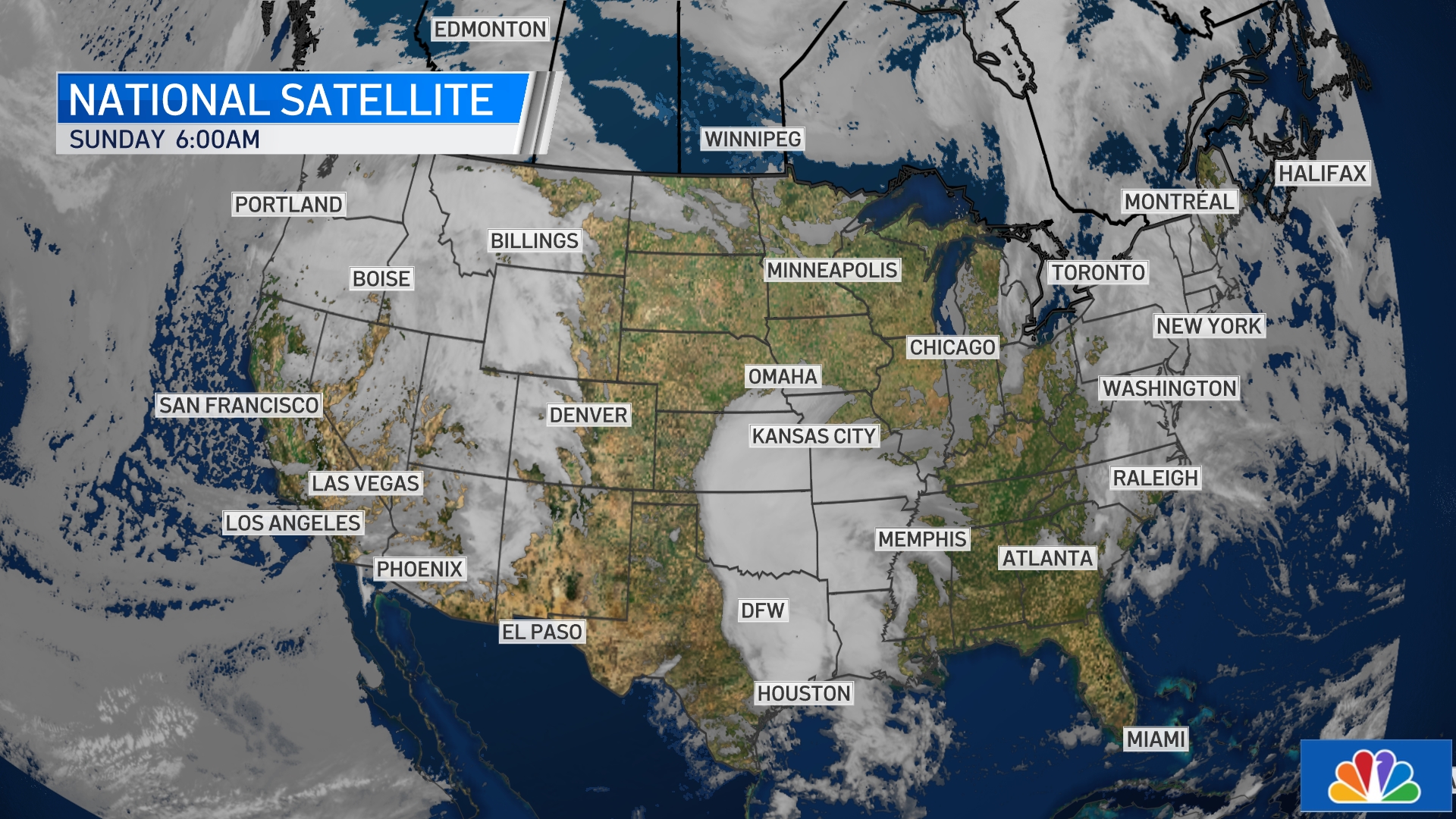
NATIONAL SATELLITE
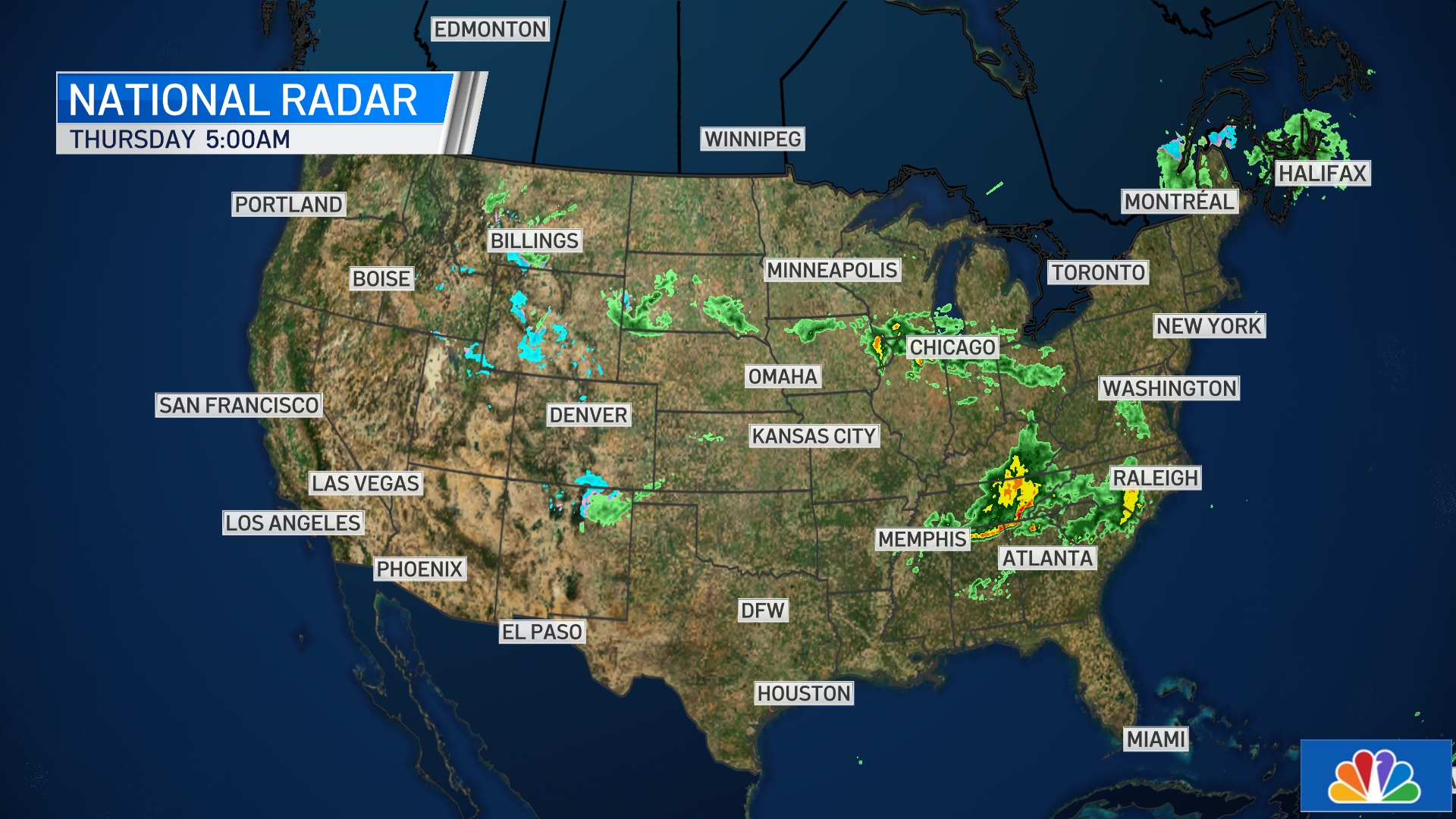
NATIONAL RADAR
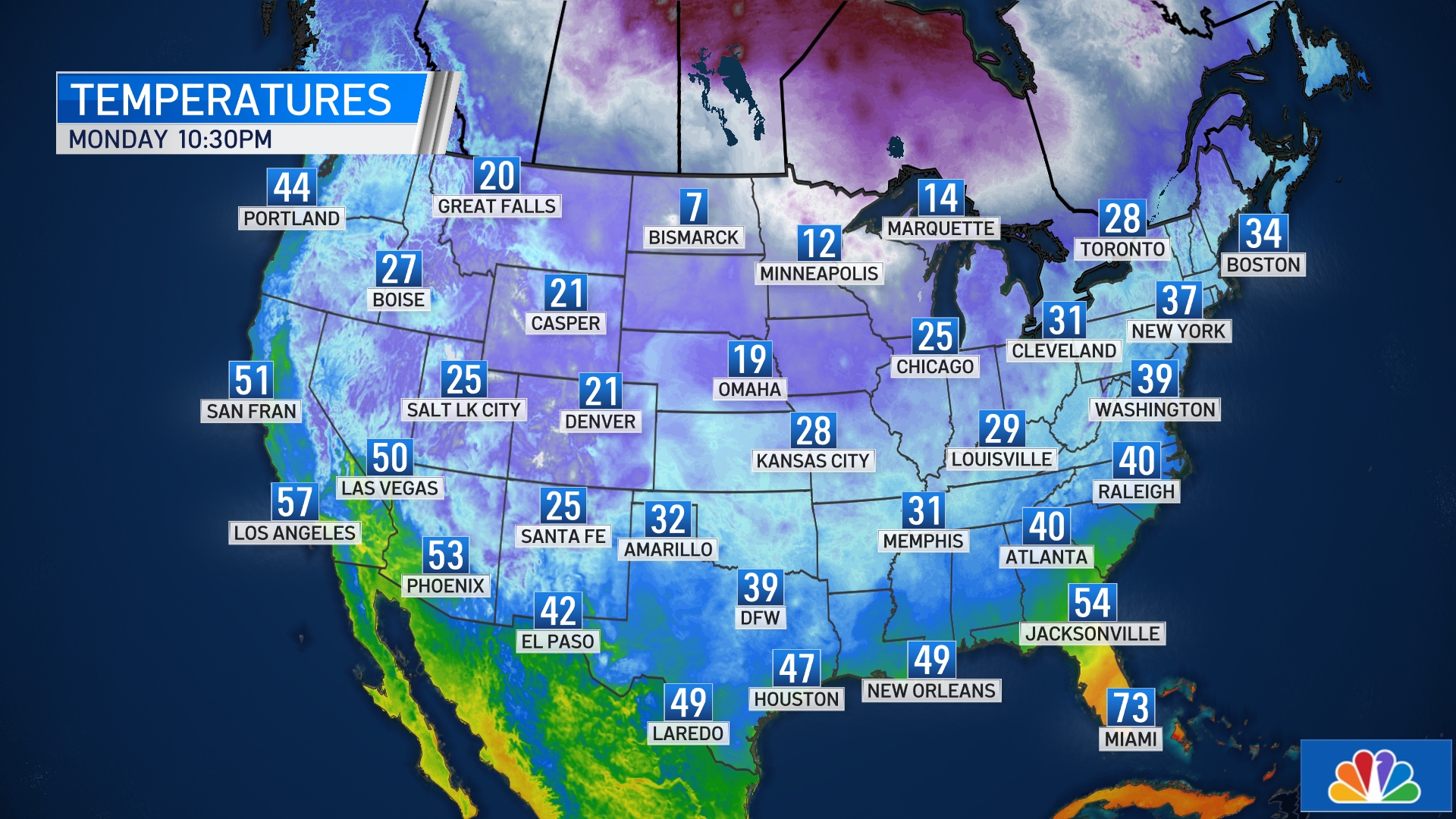
NATIONAL CURRENT TEMPERATURES
Close Menu
Search for:
News
Local
US & World
Weather
Weather alerts
Hurricane Season
Investigations
Responds
Submit a tip
PolitiFact
Impact With Jackie Nespral
South Florida Live
Entertainment
Latin Beat
Traffic
Sports
Community
TV Listings
Contests
About NBC 6
Our News Standards
Submit a Consumer Complaint
Submit Photos and Video
Contests
Our Apps
Newsletters
Cozi TV
Follow Us
Facebook
Instagram
TikTok
Contact Us