Skip to content
Main Navigation
Search
Search for:
Local
Weather
Video
Entertainment
Investigations
Responds
Newsletters
TV Listings
Live TV
Trending
Olympics
Caught on Camera
Innovation On 6
How to Stream
🔎 Send a Tip
Newsletters
Expand
Caught on Camera
3 hours ago
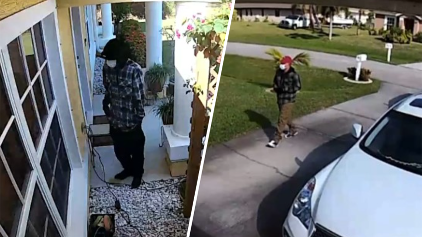
Residents on edge over man seen roaming halls, trying to open doors at Wynwood building
South Florida
7 hours ago
Burglary ring targeting Asian business owners linked to Doral and Port St. Lucie crimes
Miami-Dade County
4 hours ago
Man killed in drive-by shooting in southwest Miami-Dade neighborhood
Donald Trump
3 hours ago
A lawyer, a banker and a speech therapist: Meet the 12 jury members of Trump's hush mo...
Miami Heat
11 hours ago
Heat's Jimmy Butler expected to miss several weeks with right knee injury: Report
cold case murder
10 hours ago
‘I'm still fighting': Mom seeks answers in son's 2007 cold case killing in Miami-Dade
Taylor Swift
1 min ago
As Taylor Swift's ‘The Tortured Poets Department' drops, here's everything you need to...
Miami
3 hours ago
Uber launching new rider verification program in Miami. Here's how it works
Miami Hurricanes
7 hours ago
Hanna and Haley Cavinder say they're returning for one last season at Miami
only on 6
8 hours ago
Meth distributor working with feds remained free – until warrant says she lure...
Local
See all
Crime and Courts
3 hours ago
Grieving Miami mother accused of stalking Miami-Dade cop who killed her son
South Florida
3 hours ago
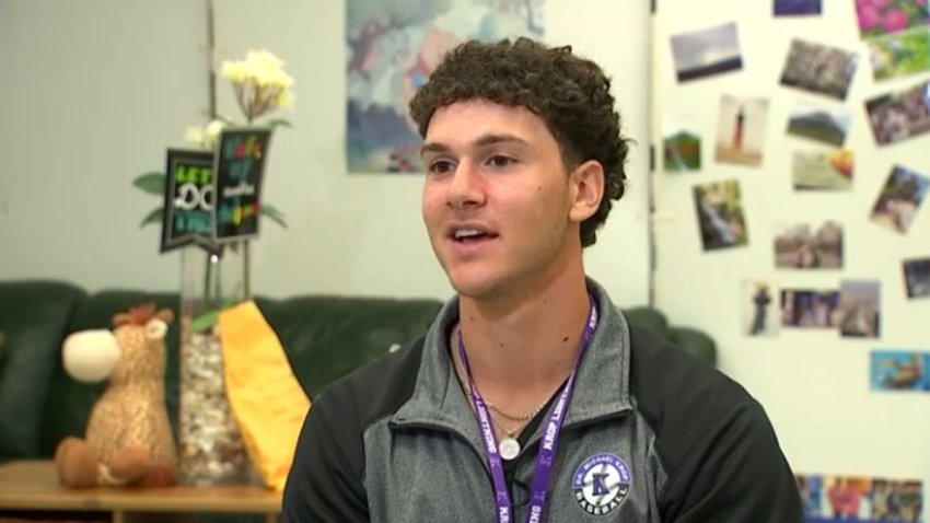
An athlete and a mathlete, Krop High senior is a student working at greatness
Broward County
3 hours ago
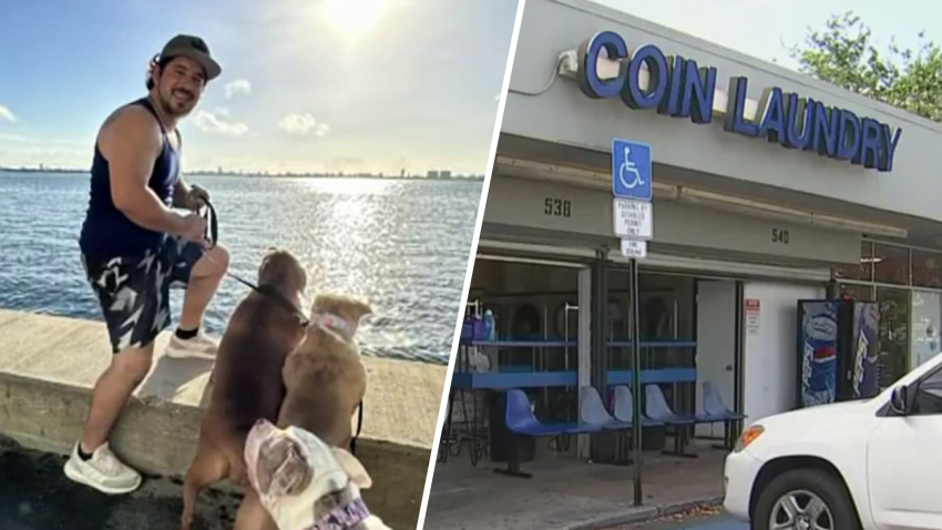
Mom in Colombia feeling helpless after son stabbed to death in Plantation laundromat
Most Read
Parenting
Mom accidentally invites 487 people to child's birthday: ‘I have to get a new identity'
only on 6
Meth distributor working with feds remained free – until warrant says she lured Hialeah man to his execution
Miami-Dade County
Man killed in drive-by shooting in southwest Miami-Dade neighborhood
Florida
Middle School Murderer Who Died in Prison Had Heart Issue: Autopsy
Broward County
Mom in Colombia feeling helpless after son stabbed to death in Plantation laundromat
Crime and Courts
Life in prison for killer who stabbed and drowned Homestead woman in toilet
cold case murder
10 hours ago
‘I'm still fighting': Mom seeks answers in son's 2007 cold case killing in Miami-Dade
Taylor Swift
1 min ago
As Taylor Swift's ‘The Tortured Poets Department' drops, here's everything you need to...
Miami
3 hours ago
Uber launching new rider verification program in Miami. Here's how it works
Miami Hurricanes
7 hours ago
Hanna and Haley Cavinder say they're returning for one last season at Miami
only on 6
8 hours ago
Meth distributor working with feds remained free – until warrant says she lure...
Top Videos
See all
Paris 2024 Summer Olympics
See all
2024 paris olympics
8 hours ago
Ryan Murphy building swim school for kids as he preps for 2024 Paris Olympics
2024 paris olympics
10 hours ago
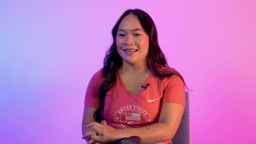
Hatred of running led to Paralympic success for swimmer Haven Shepherd
2024 paris olympics
23 hours ago
Old gen, next gen unite for Team USA basketball
2024 paris olympics
23 hours ago
Jalen Brunson and other snubs from Team USA men's basketball 2024 Olympics roster
2024 paris olympics
Apr 17
University of Miami rowing coach training Palestinian athlete for Paris Olympics
Politics
See all
Joe Biden
5 hours ago
Kennedy family makes ‘crystal clear' its Biden endorsement in attempt to deflate RFK Jr.'s candidacy
Donald Trump
1 hour ago
12 jurors have been picked for Donald Trump's hush money trial; selection of alternates ongoing
Iran
15 hours ago
Congress moving swiftly on bipartisan action to punish Iran after revenge attack on Israel
CNBC Money Report
See all
news
1 hour ago
Cramer's Lighting Round: Sell Aspen Aerogels
news
46 mins ago
Asia markets trade lower tracking Wall Street's losses; Japan inflation numbers watched
news
1 hour ago
Cramer says two recent earnings reports may indicate a slowdown is brewing — but not enough for a Fed cut
Responds
See all
car insurance
Apr 13
Here's the type of car insurance that covers flood damage
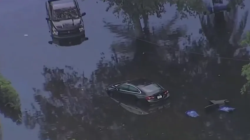
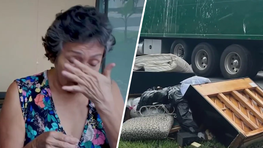
flooding
Apr 12
‘It's just devastating': Fort Lauderdale residents continue to rebuild a year after historic flooding
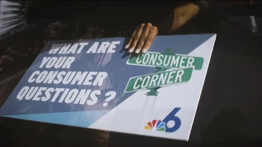
Taxes
Apr 9
Consumer Corner: What happens if I miss the tax deadline?
Sports
See all
NBA
3 hours ago
5 things to know about Anthony Davis
NBA Playoffs
3 hours ago
How many times has a No. 7 seed beat a No. 2 seed in the NBA playoffs?
NHL
5 hours ago
Coyotes officially leaving Arizona for Salt Lake City following approval of sale
South Florida Live
See all
South Florida Live
6 hours ago
What is ‘girl dinner'? Certified health coach explains TikTok trend with a healthy twist
South Florida Live
Apr 17
Your all-inclusive experience starts here
South Florida Live
Apr 17
Start your day like a millionaire: Morning routine tips for success
U.S. & World
See all
Science
56 mins ago
Jawbone found by rock-collecting child identified as U.S. Marine who died in 1951 training accident
social media
2 hours ago
Hyundai pauses X ads over pro-Nazi content on the platform
Entertainment News
See all
television
2 hours ago
Hannah Waddingham says Jason Sudeikis doesn't give compliments ‘lightly.' Why this comment left her ‘emotional'
Taylor Swift
2 hours ago
Who is Tree Paine? Everything to know about Taylor Swift's powerhouse publicist
Investigations
See all
only on 6
Apr 11
Miami-Dade officer who failed to investigate colleague for DUI faces dismissal
only on 6
Apr 8
Miami-Dade officer not investigated for DUI despite witness complaints he appeared impaired
Boat Crash
Mar 28
Third lawsuit filed in connection with boat crash near Port Miami
cosmetic surgery
Mar 18
Family of woman who died after a popular plastic surgery sues doctor and clinic
NBC 6 Investigators
Mar 15
Janitorial workers at local university blame cleaning product for allergic reactions
News
Health
What I've learned about food allergies after my daughter's diagnosis
Watch
•
Sep 12, 2023
More South Florida children are reporting food allergies. Here's what to know
Watch
•
Sep 12, 2023
Her 11-year-old son died after an allergic reaction. She has a message to other parents
Watch
•
Sep 12, 2023
Voices With Jawan Strader
Income Taxes and AI
Watch
•
Apr 13
Raising awareness about preventable pregnancy problems with mothers of color
Watch
•
Apr 13
Udonis Haslem's push to give back to the community
Watch
•
Apr 6
Close Menu
Search for:
News
Local
US & World
Weather
Weather alerts
Hurricane Season
Investigations
Responds
Submit a tip
PolitiFact
Impact With Jackie Nespral
South Florida Live
Entertainment
Latin Beat
Traffic
Sports
Community
TV Listings
Contests
About NBC 6
Our News Standards
Submit a Consumer Complaint
Submit Photos and Video
Contests
Our Apps
Newsletters
Cozi TV
Follow Us
Facebook
Instagram
TikTok
Contact Us